Log in
All resources
Create a design
1,486 Free Images of Maps Of Africa
description de l'universe
alain manesson mallet
bibliothèque nationale de france
africa in art
maps from the earth and its inhabitants, vol. x
maps from the earth and its inhabitants, vol. xiii
koninklijke bibliotheek
engraving on paper
arnold's geographical handbook (1899)
german renaissance,northern renaissance
description de l'universe
africa in art
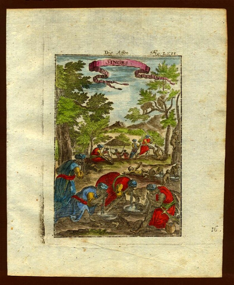
description de l'universe
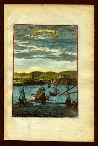
1683 in africa
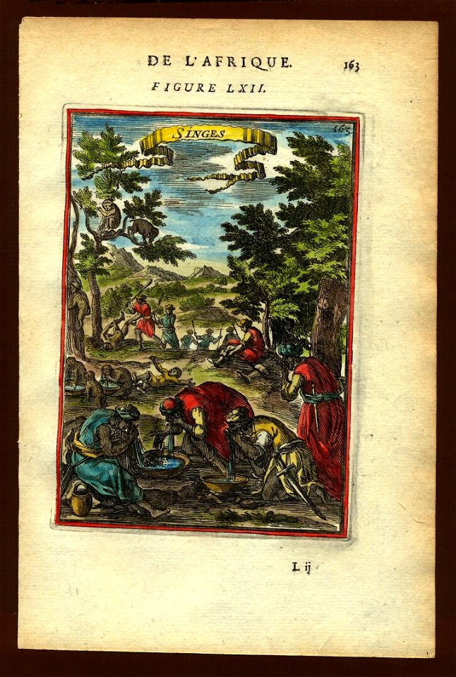
description de l'universe
1685 in africa
the story of geographical discovery
maps from books
maps of peñón de vélez by braun & hogenberg
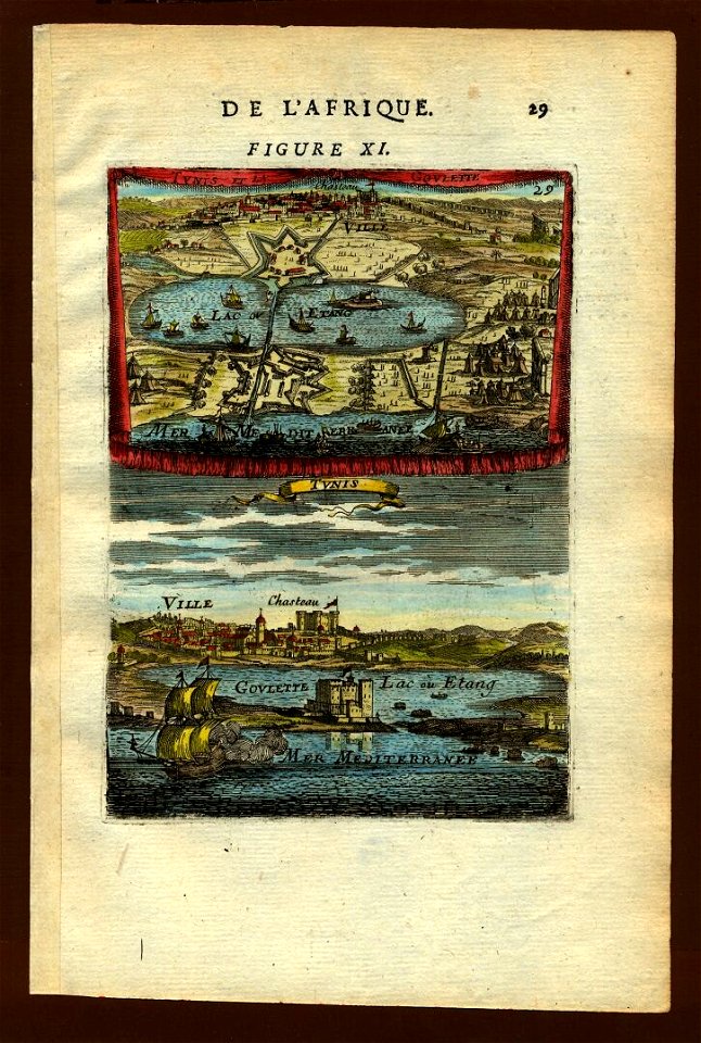
maps of tunis by braun & hogenberg
geographia universalis (1545) in the british museum
german renaissance,northern renaissance
chicago and the midwest, newberry library
1931 maps
maps from the earth and its inhabitants, vol. x
1880s maps of egypt
maps from the earth and its inhabitants, vol. xiv
1890 maps of africa
1596 maps of africa
renaissance
maps of barbary coast by mercator-hondius
bibliothèque nationale de france
17th-century maps of the indian ocean
maps by willem and johannes blaeu
atlas minor gerardi mercatoris (1614, maps)
maps of africa by mercator-hondius
description de l'universe
africa in art
description de l'universe
africa in art
description de l'universe
africa in art
description de l'universe
africa in art
description de l'universe
africa in art
description de l'universe
africa in art
description de l'universe
africa in art
description de l'universe
africa in art
description de l'universe
africa in art
description de l'universe
africa in art
maps from the earth and its inhabitants, vol. xi
maps indicating exploration
maps from the earth and its inhabitants, vol. xiii
maps of journeys
mining in south africa
maps of vaal river
maps of the west-indische compagnie
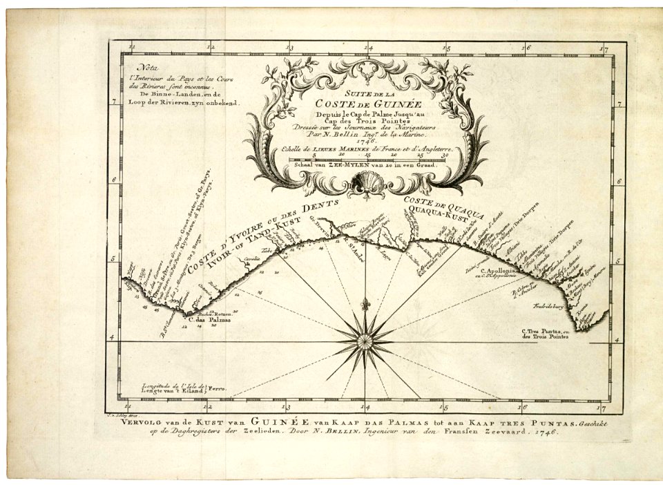
1747 maps of africa
maps of the west-indische compagnie
1747 maps of africa
19th-century maps of senegal
orientalist painting
19th-century maps of senegal
orientalist painting
19th-century maps of africa
raymond bonheur
maps in the rijksmuseum amsterdam
old maps of the ottoman empire
arnold van langren map of east africa
1620s maps of africa
arnold's geographical handbook (1899)
1890s maps of south africa
arnold's geographical handbook (1899)
1899 maps of africa
arnold's geographical handbook (1899)
1899 maps of africa
arnold's geographical handbook (1899)
1899 maps of africa
arnold's geographical handbook (1899)
1899 maps of africa
arnold's geographical handbook (1899)
1899 maps of africa
maps of the west-indische compagnie
1747 maps of africa
atlas sive cosmographicae (gerardus mercator, 1607)
maps of africa by mercator-hondius
maps of algiers by braun & hogenberg
bibliothèque nationale de france
nouveau cours d'instruction primaire de géographie (1886)
1886 maps of africa
a voyage to abyssinia, and travels into the interior of that country, executed under the orders of the british government in the years 1809 & 1810
john outhett
atlas sive cosmographicae (gerardus mercator, 1623)
maps of africa by mercator-hondius
atlas sive cosmographicae (gerardus mercator, 1623)
maps of africa by rumold mercator
geographia universalis (1545) in the british museum
german renaissance,northern renaissance
description de l'universe
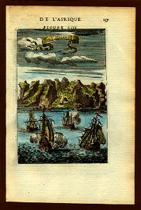
1683 maps of africa
bibliothèque nationale de france
niccolo nelli
old maps of south africa
emil holub
maps by pieter mortier
maps from gallica
1870s maps of egypt
1879 maps of africa
maps from the earth and its inhabitants, vol. x
old maps of africa
maps from the earth and its inhabitants, vol. xiii
maps of the history of south africa
maps from the earth and its inhabitants, vol. x
maps of weather and climate of africa
maps from the earth and its inhabitants, vol. x
linguistic maps of africa
maps from the earth and its inhabitants, vol. x
topographic maps of africa
maps from the earth and its inhabitants, vol. x
religion maps of africa
maps of guinea by mercator-hondius
maps of the west-indische compagnie
1747 maps of africa
wolffgang hartmann
philipp clüver
nelle presenti tre tavole sono descritte le marine secondo le carte da navicar et fra terra secondo i migliori scrittori antichi et moderni, con fumi, monti, laghi, mari, citta, provincie et capi principale... - btv1b8468487h
bibliothèque nationale de france
nelle presenti tre tavole sono descritte le marine secondo le carte da navicar et fra terra secondo i migliori scrittori antichi et moderni, con fumi, monti, laghi, mari, citta, provincie et capi principale... - btv1b8468487h
bibliothèque nationale de france
nelle presenti tre tavole sono descritte le marine secondo le carte da navicar et fra terra secondo i migliori scrittori antichi et moderni, con fumi, monti, laghi, mari, citta, provincie et capi principale... - btv1b8468487h
bibliothèque nationale de france
bibliothèque nationale de france
niccolo nelli
select views in india, drawn on the spot, in the years 1780, 1781, 1782, and 1783
british library asia, pacific and africa collections
maps from the earth and its inhabitants, vol. x
flora of africa
maps from the earth and its inhabitants, vol. xiii
lagoons of africa
maps published by hendrik de leth
algiers in the 18th century
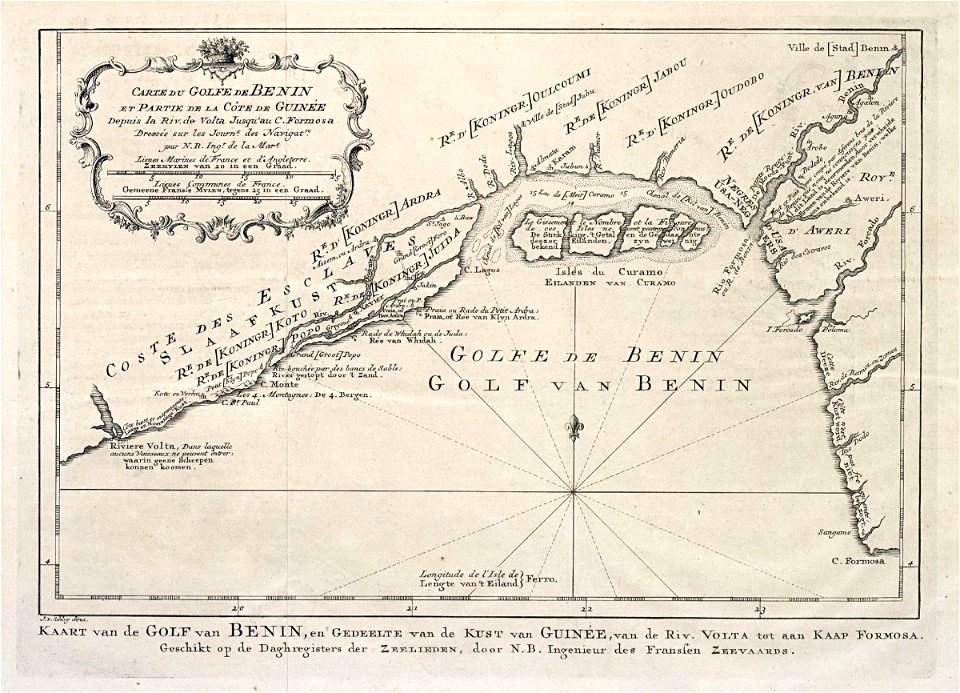
carte de barbarie, nigritie, guinée par guillaume delisle (1707)
university of washington
nouvelle géographie universelle, vol. xiii
1876 maps of africa
reconstruction of ruysch's africa map by stanley
nell'africa tenebrosa (1890)
description de l'universe
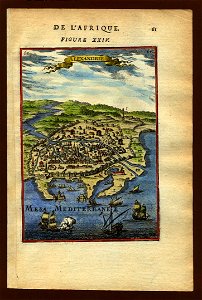
alexandria in art
british library asia, pacific and africa collections
twenty-four views by henry salt (1809)
description de l'universe
ascension island
description de l'universe
1683 maps of africa
geographia universalis (1545) in the british museum
german renaissance,northern renaissance
maps from the earth and its inhabitants, vol. xiii
south africa in the 1870s
maps from the earth and its inhabitants, vol. xiii
south africa in the 1870s
a class-book of modern geography (1898)
1890s maps of south africa
maps of the south atlantic
guillaume dheulland
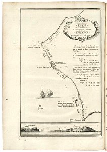
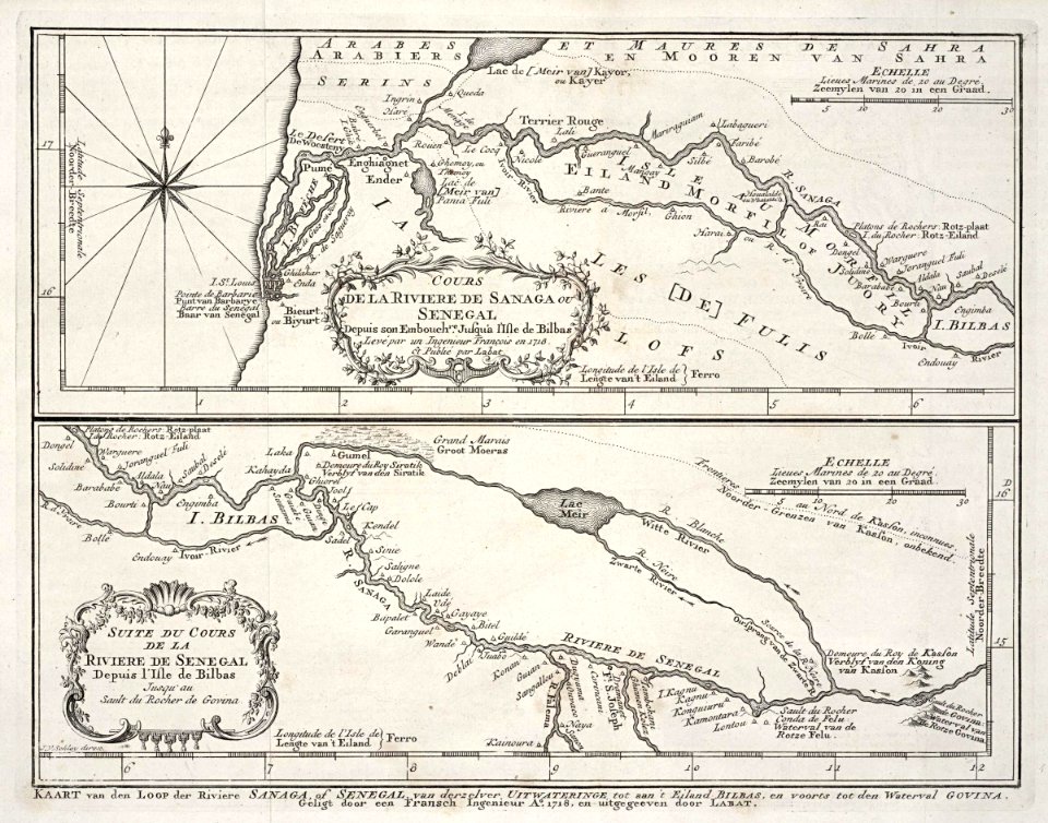
maps of the senegal river
1747 maps of africa
atlas sive cosmographicae (gerardus mercator, 1630)
maps of africa by rumold mercator
atlas sive cosmographicae (gerardus mercator, 1630)
maps of africa by mercator-hondius
atlas ou representation du monde universel t. 2 (1633)
1633 maps of africa
atlas ou representation du monde universel t. 2 (1633)
1633 maps of africa
geographia universalis (1545) in the british museum
german renaissance,northern renaissance
géographie générale; physique, politique et économique (1876)
1876 maps of africa
géographie générale; physique, politique et économique (1876)
1876 maps of africa
geographia universalis (1545) in the british museum
german renaissance,northern renaissance
description de l'universe
ascension island
bibliothèque nationale de france
niccolo nelli
description de l'universe
geography of africa
description de l'universe
geography of africa
description de l'universe
geography of africa
description de l'universe
geography of africa
description de l'universe
history of africa
description de l'universe
history of africa
description de l'universe
history of africa
description de l'universe
history of africa
1201 - 1300 of 1,486
Next page
/ 15